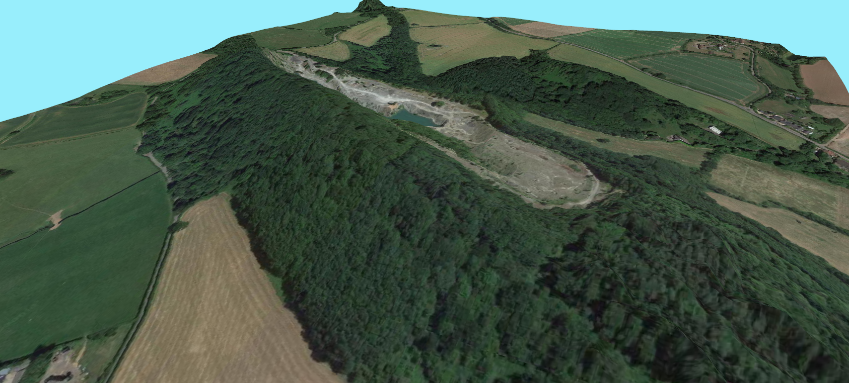
I just created an example of a simple 3D view using the QGIS 3D Map View window.
The image below is an aerial imagery feed draped over some Environment Agency 2m LiDAR DSM (digital surface model). A useful but very quick and easy method for visualising slopes and changes in elevation in the landscape.