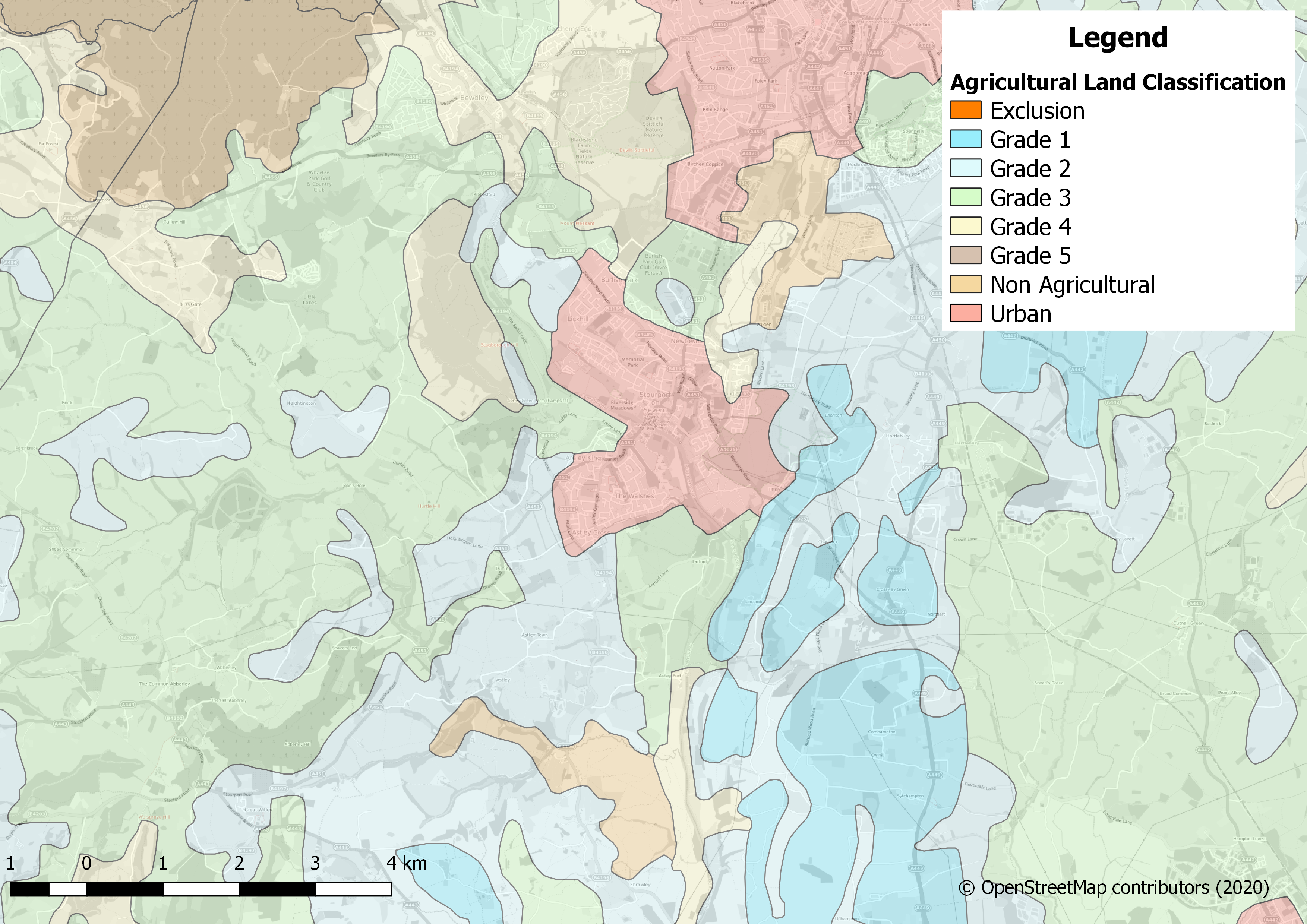
I find Natural England’s Provisional Agricultural Land Classification (ALC) (England) dataset very interesting. It gives a rating of 1 to 5 for the quality of every parcel of agricultural land in England, 1 being the best quality and 5 being the poorest. Natural England use three main criteria in producing the grading, climate, site and soil. Climate consists of a rating for: temperature, rainfall, aspect, exposure and frost risk. Site looks out for: gradient, micro-relief, flood risk and finally the Soil study is testing depth, structure, texture, chemicals and stoniness. Urban and no-agriculture areas are excluded from the grading but are included in the dataset to form a seamless layer. I produced the following map when researching some greenfield land which is at risk of being developed for residential land use. It turns out the fields in question are classified as Grade 2, so are prime agricultural land!