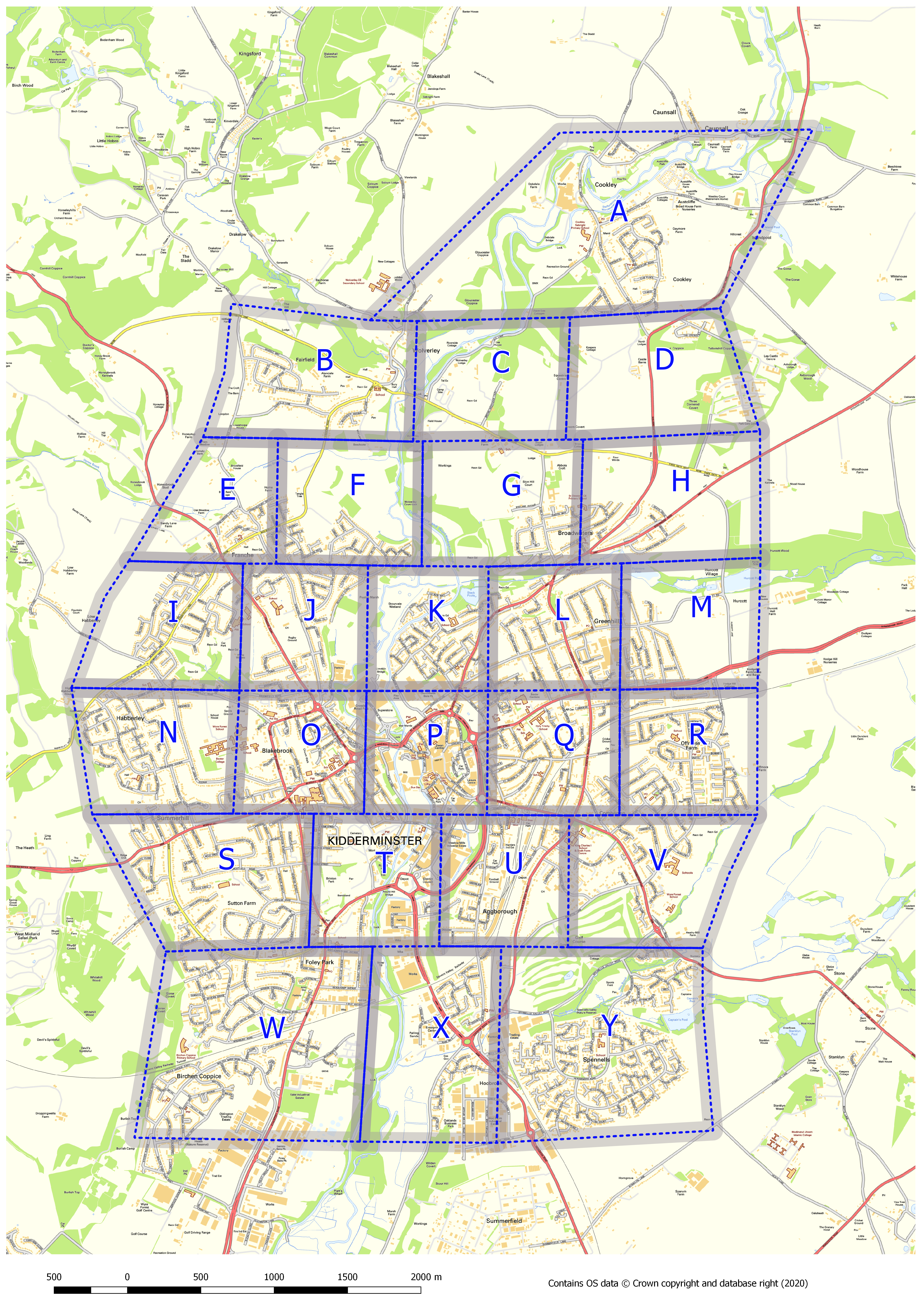
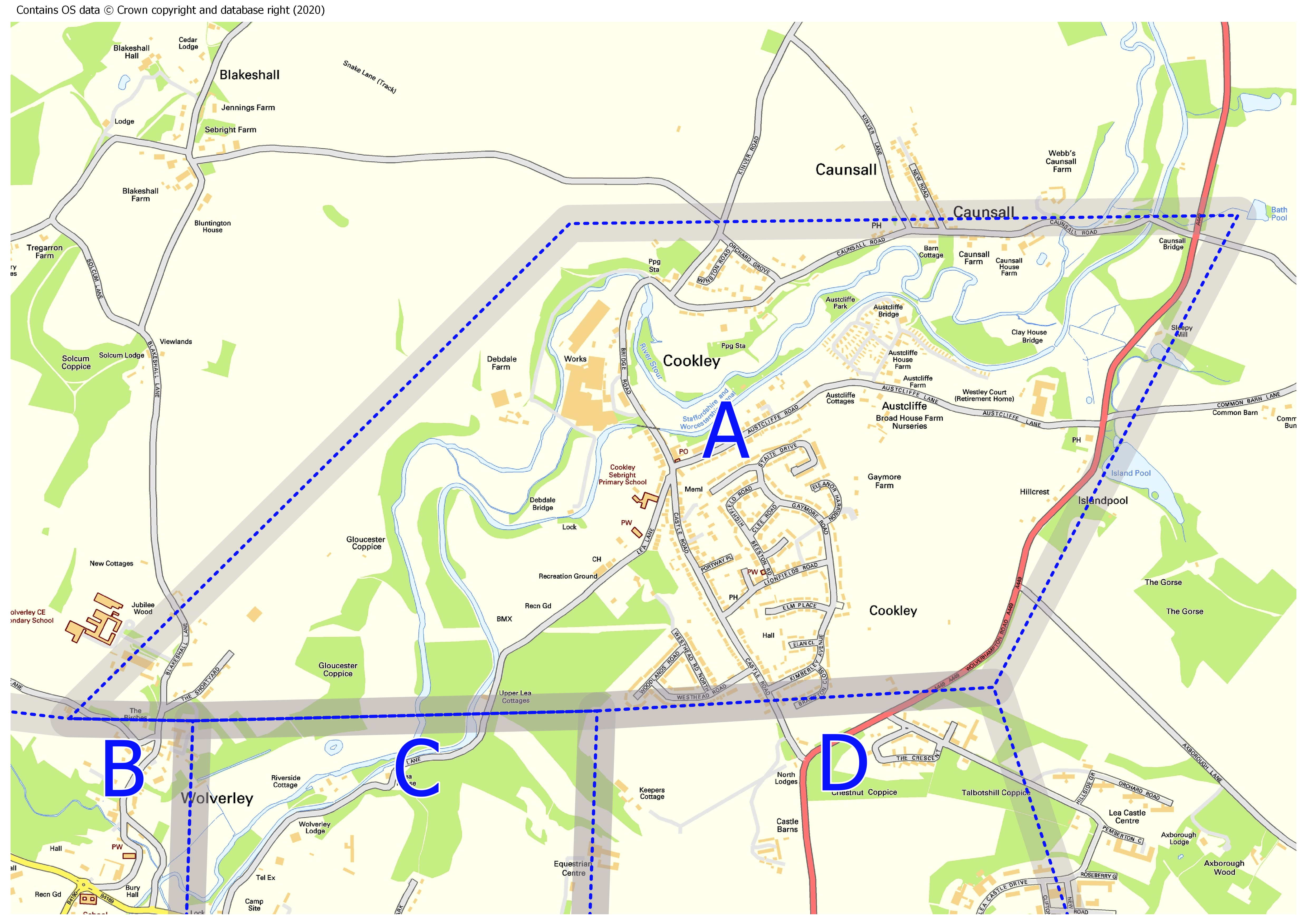
I have just finished producing some mapping for a local coronavirus support group. The idea was to split the area that the group covers into 25 zones. These zones would be of a manageable size for volunteers to be able to easily cover in order to provide aid for vulnerable people during the current COVID-19 pandemic. The group would assist in deliveries of food and medical supplies. The maps required were one of the whole area which the group covers with the 25 zone boundaries marked and then 25 individual maps, one for each of the zones. The zone boundaries were arbitrary and for a rough guideline only so needed to be shown as being permeable. The work was done in QGIS, with the Print Composer Atlas being extremely effective for automating map creation, which saved a lot of time. The Atlas uses an attribute in the dataset, in this case the zone letter, to automate the production of the 25 individual maps. Please see below for the zonal coverage map and one of the induvidual zone maps. The backdrop mapping is Ordnance Survey (OS) Open Data, this is free of charge and negates the need for any restrictive map licences.